senda leg columban
medium
15 km
1'100 m
1'100 m
3-4 h
bus stop: bivio, posta
Bivio – Fuorcla de la Valletta–Stallerberg – Bivio
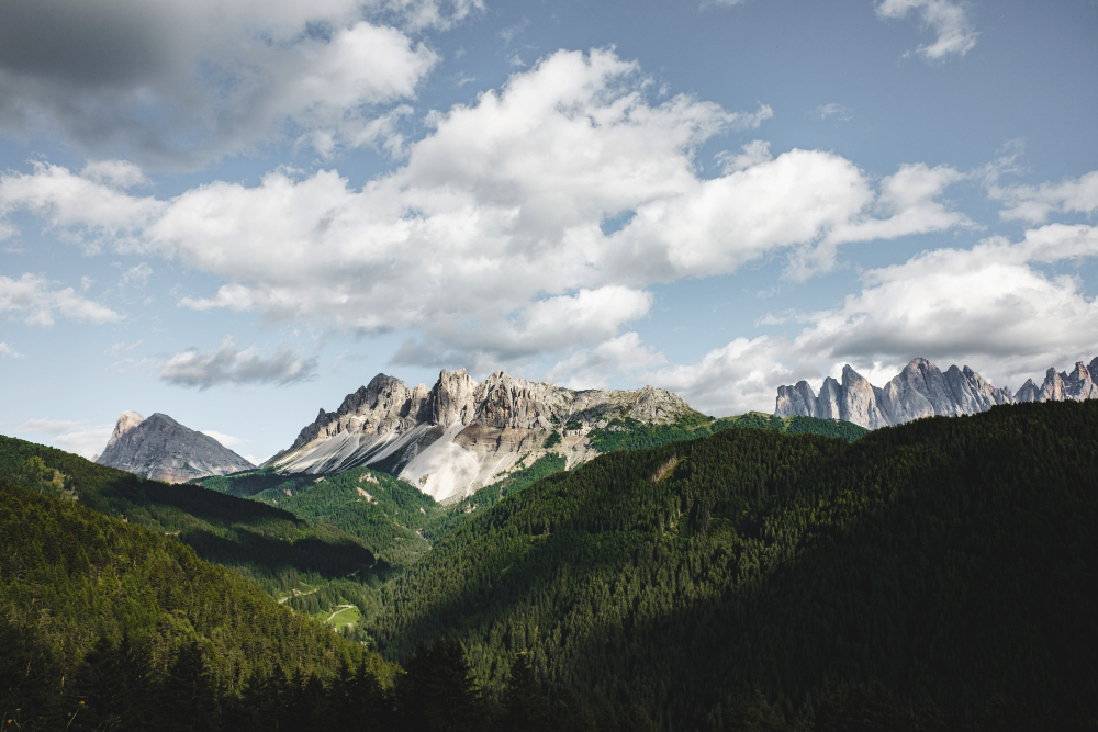
This circular hike sets off from Bivio, initially climbing up to the Leg Columban mountain lake. At “Uf da Flüe”, the route’s highest point, you will be treated to a dreamy view into the Averstal valley and out to Juf, the highest permanently inhabited residential area in Europe. Other little lakes dot the way down on the “Steinmännliweg” via Stallerberg back to Bivio.
The village of Bivio is steeped in history. At the foot of the Julier and Septimer Alpine passes, it is the only Italian-speaking village north of the Alpine watershed. The highest village in Surses is criss-crossed with historic trails that stretch as far back as the Romans, who passed through here when transporting their goods. This lovely tour sets off from Bivio towards Valletta da Beiva.
Make sure to pack enough to eat and drink before you depart, as there is nowhere to stop along the way.
Uphill and hugging the stream the entire way, Leg Columban – for which this route is named – is just under six kilometres away. The mountain lake is a great spot for your first break. The ascent then continues on over Fuorcla da la Valletta. A view into Avers below and to Juf, the highest permanently inhabited residential area in Europe, becomes visible. Another uphill stretch follows to the peak “Uf da Flüe”, the highest point of this tour. The view of the surrounding valleys is magnificent. The climate and the harshness of the high Alpine zone are clearly noticeable from 2,500 metres and above. In this area, the trail mostly leads over crags and terrain strewn with rocks. From this point on, everything is downhill: passing by other small mountain lakes, you will walk the “Steinmännliweg” to the Stallerberg, a mule track that connects Juf in the Averstal valley with Bivio in the Val Surses. The descent is via a highly walkable path roughly paved with stones. The further down you go in the valley, the less technical it becomes. This hiking trail, which can also be walked in the opposite direction and is brilliantly suited for trailing running, now ends in Bivio.
maps and more info
Detailed GPX Track
Download the GPX File and import the route into your phone's mapping app and/or your watch for the full turn-by turn. Your purchase supports the team at ALPSinsight to keep these runs coming.
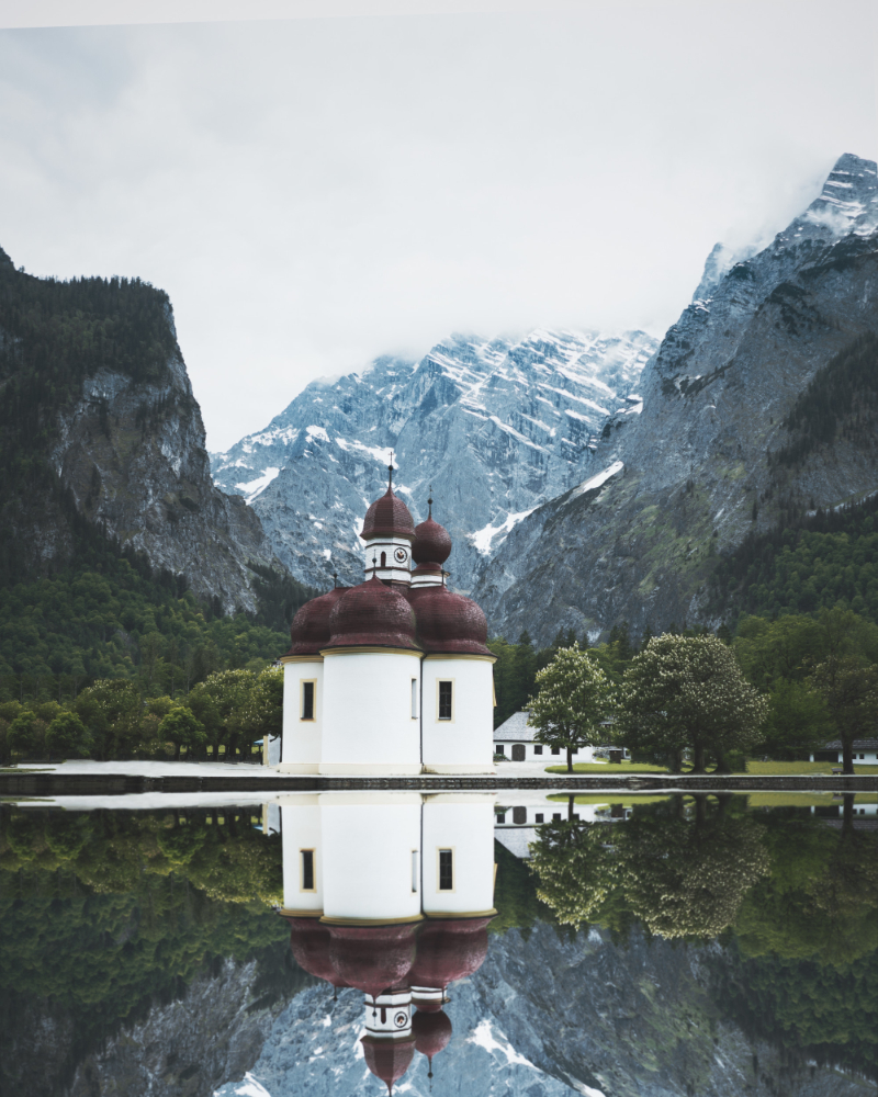
Prayer House / Leg Columban
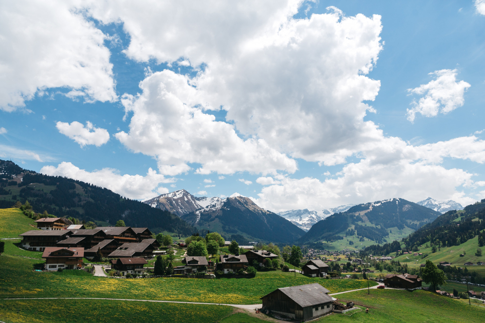
Charming houses and farms / Bivio
Help support
heidi runs trails
If you enjoy the information we provide, join our community and please consider a donation.